SEVERE THUNDERSTORM WARNING - MELBOURNE AREA
for DAMAGING WIND, HEAVY RAINFALL and LARGE HAILSTONES
For people in the Port Phillip, Western Port, Inner East, Mornington Peninsula, Inner, South East, Northern, Western, Geelong and Bellarine Peninsula and parts of the Outer East Local Warning Areas.
Issued at 11:55 am Monday, 23 February 2015.
The Bureau of Meteorology warns that, at 11:50 am, severe thunderstorms were detected on weather radar near Geelong City, Queenscliff, Gisborne, the area east of Healesville, Broadmeadows, Little River, Bass Strait and the area south of Kilmore. These thunderstorms are moving towards the east to southeast. They are forecast to affect Craigieburn, Footscray, Melton, Preston, Ringwood, Rosebud, St Albans, Sunbury and Werribee by 12:20 pm and Caulfield, Frankston, Glen Waverley, Greensborough and Melbourne City by 12:50 pm.
Damaging winds, heavy rainfall that may lead to flash flooding and large hailstones are likely.
There has been reports of hail damage to cars with thunderstorms in the Colac/Cressy area.
The State Emergency Service advises that people should:
* Keep clear of fallen power lines.
* secure any loose objects in the vicinity of your home.
* keep away from creeks and drains.
* do not drive vehicles through flooded areas.
* stay indoors if possible.
* Avoid using the phone during the storm.
* if you are outside, avoid sheltering under trees
* listen to the radio for storm updates
* switch off your computer and electrical appliances
The next warning is due to be issued by 12:55 pm.
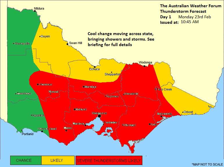
A more general severe thunderstorm warning is also current for the Central, Mallee, South West, Northern Country, North Central, West and South Gippsland and Wimmera districts.
Warnings are also available through TV and Radio broadcasts, the Bureau's website at
http://www.bom.gov.au" onclick="window.open(this.href);return false; or call 1300 659 217. The Bureau and State Emergency Service would appreciate warnings being broadcast regularly.