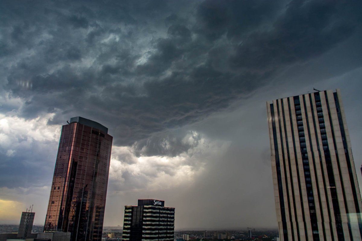
Development to the northwest of Melbourne and over the bay looking nasty ... again!
EDIT: Just had a crack and a bang! Saw the lightning this time. Winds at Moorabbin Airport just up the road gusted to 94km/h!


Where about is this? Good to add your location Chris.

stevco123 wrote: ↑Wed Jan 30, 2019 5:47 pm WWHHOOOOOOAAAA!!!!!!! That was I_N_T_E_N_S_E.
Strong lightning, very strong thunder, and VERY strong winds. Bit of a microburst dumped on us here.
I have the video, and will let you know the youtube link soon.
Perhaps Sean got it stronger than I, going by the radar purely?
15mm of rain here in 10 minutes, with a rain rate of 185mm/h at one stage.
103km/h wind gust on the kestrel, but 66km/h gust on the Davis.
Best storm I have witnessed in probably 15 years, and the best here in cranbourne since i moved in 4 years ago.
And i thought I was gonna miss out...

Not as frustrating as not being able to use Evap due to smoke detectors going offhillybilly wrote: ↑Wed Jan 30, 2019 5:51 pm Second band died for us. Still stuck on 1mm. Crikey this is frustrating
Next lot diving south ATM.

Wow! What's your location? Must feel like heaven

NW of Bendigo - just out of Serpentine. Had another shower since and it’s still rumbling. Amazing to see water sitting on the bare paddocks up here.Macedonian wrote: ↑Wed Jan 30, 2019 6:34 pmWow! What's your location? Must feel like heaven
6mm at mine at Mt Macedon. Not a lot but it was glorious!