Page 1 of 5
Victoria: Warm Spring Weather & Rainband: Oct 18-20 2017
Posted: Thu Oct 12, 2017 9:57 am
by StratoBendigo
After this week's welcome rain, it looks like another system could be on the cards for next week.
Warm weather with light Northerlies as the week progresses, and most forecast models are suggesting another decent drop of rain as the next cold front approaches. Access-G, EC and GFS pointing towards 25mm+ for Central Vic.
Re: Warm Spring Weather and Rainband: Oct 16-20
Posted: Fri Oct 13, 2017 9:55 am
by StratoBendigo
Still on track for a potential deluge late next week. GFS reckon we might even get 50mm. EC has a more realistic 17mm.
Watching this one with interest.
Incidentally, many of the winter crops in the Mallee copped a bad frost two weeks ago - quite a lot of damage in places. At least some of it is recovering with the recent rains.
Re: Warm Spring Weather and Rainband: Oct 16-20
Posted: Fri Oct 13, 2017 11:48 am
by Hunter1890
Interesting. As SB said, EC not too keen on next week. GFS though... some significant falls! What's particularly interesting is that GFS has the rain arriving on Wednesday as scattered storms/showers turning to rain overnight, then more the same on Thursday with a higher risk of storms. EC has the rain coming across as a front dropping significantly less rainfall. EC is closer to the BoM forecast and at the moment I am banking on that, however, I really hope GFS' scenario comes off!
Re: Warm Spring Weather and Rainband: Oct 16-20
Posted: Fri Oct 13, 2017 2:49 pm
by Harley34
The Weatherzone charts look good, as in the latest 6 day forecast charts. As described in a similar way above, they have more instability pushing through on Thursday, as opposed to Wednesday. You'd think Melbourne would see a storm or two on either Wednesday or Thursday, but as to what type of thunderstorm, we would have to wait and see. North of the divide will probably and usually does see better storm organisation due to greater temperatures and elevation, but I think Melbourne is in with a really good chance on this occasion. The set-up looks really good with moisture from both the inland and the south. I hope Melbourne can score an inch from this, perhaps something equal or better to the other night, as that downfall took me by surprise. The developing monsoon up north looks promising and I am always excited for middle-late spring, as this can be the best time for volatile weather here in the SE...
Re: Warm Spring Weather and Rainband: Oct 16-20
Posted: Fri Oct 13, 2017 7:31 pm
by stevco123
...and latest BoM 3 month forecast has it being a warmer and WETTER start to summer on the eastern seaboard, and especially the southeast. Which is us!
Re: Warm Spring Weather and Rainband: Oct 16-20
Posted: Sat Oct 14, 2017 7:42 am
by hillybilly
Progs look to be holding. Steady warm-up next few days peaking near 30C in southern areas and low/mid 30s in the north. Slow moving trough then for Wednesday and Thursday with a very good infeed of tropical moisture. Looks like quite general 10-40mm falls. Has to be a chance for the trough to wave and form a low, but still the lesser likely scenario.
Very unstable near the trough, so should see thunderies.
Re: Warm Spring Weather and Rainband: Oct 16-20
Posted: Sat Oct 14, 2017 8:50 am
by Didjman
stevco123 wrote: ↑Fri Oct 13, 2017 7:31 pm
...and latest BoM 3 month forecast has it being a warmer and WETTER start to summer on the eastern seaboard, and especially the southeast. Which is us!
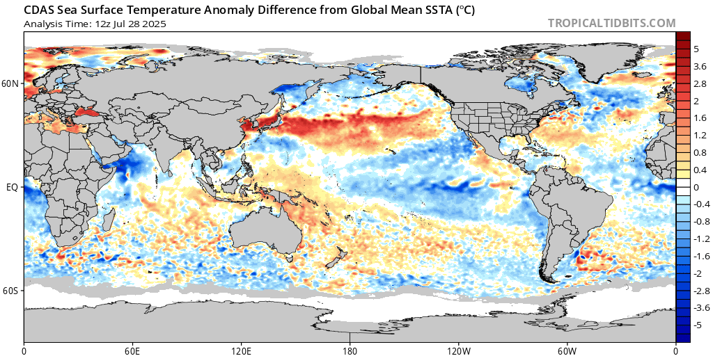
http://www.bom.gov.au/products/IDYOC054.shtml.
The above link is the daily SST anomalies chart. Is that a La Nina signature or what? The ocean has been slowly warming along our eastern coast for at least the last month.
My 2 cents worth.
Peter
Re: Warm Spring Weather and Rainband: Oct 16-20
Posted: Sat Oct 14, 2017 11:24 am
by Hunter1890
GFS has this trough stalling over the south west of VIC (a line through nhill, horsham, colac) with significant falls forecast. Regarding your post didjman, it is beginning to look La Nina-ish! For it to be a fully fledged La Nina worthy of increased rainfall, we'd need higher anomalies in the SST in the Coral Sea and the Pacific Ocean north of PNG. It would take a serious thrust of the tradewinds to enable a La Nina to develop particularly so late in the year.
On another note, have a look at what is unfolding currently in NE NSW and QLD!? Unbelievable totals racking up there. Coffs Harbour 75 mm of rain in an hour this morning. Absolutely nuts.
Re: Warm Spring Weather and Rainband: Oct 16-20
Posted: Sun Oct 15, 2017 7:24 am
by hillybilly
Models starting to wobble. CMC and EC tending to peak rain near the southwest coast and northeast ranges with a bit of a hole in the middle. GFS and ACCESS spread the rain more evenly. Comes down to the timing with the better falls coinciding with the trough moving through during the arvo to early morning when convection tends to be better.
Thinking this could be worth 10 to 50mm, with the outcome basically coming down to the exact timing on the trough. The precipitate water values are very high, approach 45mm so no shortage of moisture

I'm not so confident about the La Niña for us. If you look at the sst anomalies with global warming removed (so gives you a relative picture) it's a mixed picture. The eastern Pacific is cooler, but the western Pacific is not particularly warm, and the IOD looks like a positive IOD. A lot of these patterns are concealed by the trend. If the western Pacific was to warm I'd be more confident. You can see this mixed picture in the climate forecasts which show rainfall odds which are a bit mixed currently. My sense is we are likely to suffer another almost La Niña event, but you couldn't rule out it falling over the line. I would love a La Niña and given us a summer of humidity and storms

Re: Warm Spring Weather and Rainband: Oct 16-20
Posted: Sun Oct 15, 2017 2:11 pm
by Tassiedave
Hobart with a max of 24.4 degrees is second warmest capital after Darwin today!!
Re: Warm Spring Weather and Rainband: Oct 16-20
Posted: Sun Oct 15, 2017 4:25 pm
by Tassiedave
Tassiedave wrote: ↑Sun Oct 15, 2017 2:11 pm
Hobart with a max of 24.4 degrees is second warmest capital after Darwin today!!
Maximum temperatures in Tasmania today: St Helens 26.8, Fingal 26.7, Campania 26.0, Wynyard 24.8, Hobart 24.4 (before sea breeze hit), Ouse 24.4, Launceston 22.9, Devonport Airport 16.2
Re: Warm Spring Weather and Rainband: Oct 16-20
Posted: Mon Oct 16, 2017 10:22 am
by stevco123
Classic foggy morning down here in Cranbourne. Looks like a sunny day. B-E-A-U-T-I-F-U-L
Re: Warm Spring Weather and Rainband: Oct 16-20
Posted: Mon Oct 16, 2017 11:06 am
by tonycynic
At least the radar is back up, now for something to see on it.
Re: Warm Spring Weather and Rainband: Oct 16-20
Posted: Mon Oct 16, 2017 5:38 pm
by Tassiedave
Maximum temperatures in Tasmania today: St Helens 19.8, Fingal 27.0, Campania 28.0, Wynyard 14.2, Hobart 24.0, Bushy Park 27.5, Launceston 22.8, Devonport Airport 14.5.
Very warm air aloft above 1000 m as demonstrated by Liawenee 22.7 and Scotts Peak 27.0
Re: Warm Spring Weather and Rainband: Oct 16-20
Posted: Mon Oct 16, 2017 7:34 pm
by Sean
Hmm, isn't looking quite so good today..
Re: Warm Spring Weather and Rainband: Oct 16-20
Posted: Tue Oct 17, 2017 7:09 am
by hillybilly
24C in FC yesterday. Goes to show the uppers are getting toasted and warm enough for 30C around Melbourne now. Must be about 50:50 for the city to get there today, and again tomorrow. Chance for some early season heat records, particularly in Tasmania.
Progs continue to peak the rain on Thursday near the west coast and eastern ranges. The precip water is very high approaching 40mm, so just need the lift in instability which looks ok but not great.
Thinking 20mm here, but could land anywhere between 10 and 40mm.
Re: Warm Spring Weather and Rainband: Oct 16-20
Posted: Tue Oct 17, 2017 7:40 am
by Didjman
Nature is providing its own forecast around here! My Wife reported an influx of spiders in the house and others are reporting ant infestations. A lot of rain me ahead thinks.
Peter
Re: Warm Spring Weather and Rainband: Oct 16-20
Posted: Tue Oct 17, 2017 11:02 am
by StratoBendigo
Looks more like a NE Vic system to me on Thursday. We might scrape in 10-15mm on the Western edge of it.
Re: Warm Spring Weather and Rainband: Oct 16-20
Posted: Tue Oct 17, 2017 12:34 pm
by Gordon
Hmmm... I selfishly hope we're not drifting into a La Nina-like period where we sit and watch storms forming just to the east of us for system after system.
Re: Warm Spring Weather and Rainband: Oct 16-20
Posted: Tue Oct 17, 2017 2:44 pm
by Skywalker
Just hit 30C here in the western desert according to the local Laverton site.

Glad I gave the gardens a massive soaking this morning, going to need it with another warm one tomorrow.
Really hope we get something on Thursday.